Data project “a new chapter in wine production”
31st October 2023
A new project is aiming to create an open standard for digital maps of commercial vineyards in the UK and around the world.

In the rapidly changing landscape of modern agriculture, creating a standard for digital mapping is fundamental for deploying tech onto farms. Digital maps enable valuable decision-making support to structured farming environments.
Defra’s Farming Innovation Programme and UKRI’s Transforming Food Production Challenge is supporting the new project: Vineyard Information System for Technology and Automation, or ‘VISTA’.
It aims to create a mapping standard for agriculture that allows robotics, drones, sensors and decision support tools to communicate, integrate their data and provide maximum benefit for farmers.
It’s hoped this can one day be applied to other sectors besides viticulture.
The project is led by a consortium of leading industry partners and will start by digitally mapping vineyards at the row and individual vine level, using JoJo’s Vineyard in Oxfordshire as a first test site.
The project includes collaboration between tech experts from Agri-EPI Centre, crop mapping specialists from Outfield Technologies, roboticists from Antobot, viticultural consultants from Vinescapes, and robotic mapping researchers from the University of Lincoln.
Ian Beecher-Jones, co-owner of JoJo’s Vineyard, said: “JoJo’s Vineyard is delighted to be the lead vineyard in the VISTA project.
“We have been developing precision viticultural technologies for the last couple of years and have a strong belief the project will continue the work we have achieved in the Innovate UK Viticulture 4.0 project, which highlighted the importance of establishing a robust digital infrastructure on which all other technologies can work efficiently and effectively.”
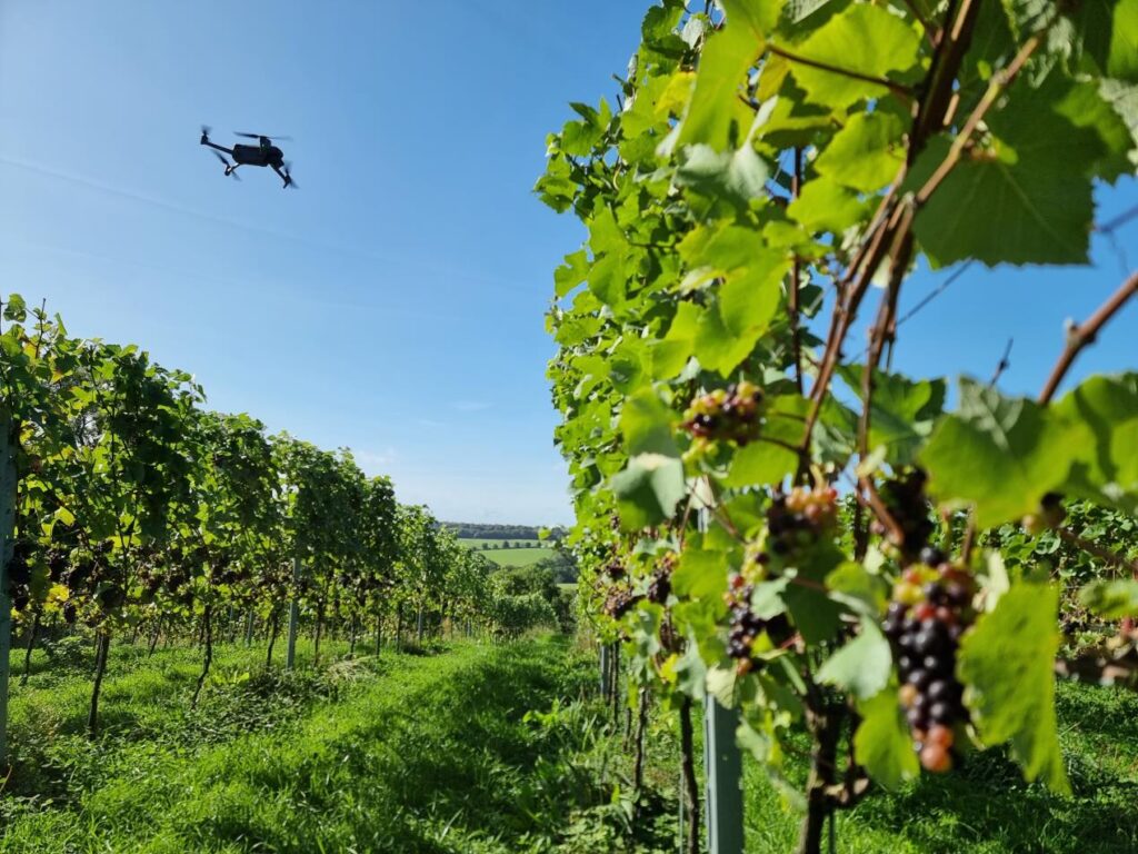
Drone, robot and in-field sensors will be used to monitor climate and weather, crop health, soil moisture, fruit counts, and fruit quality, with the VISTA map providing the digital backbone to process this data.
In the second year of the project, the high-resolution VISTA map will then be used to drive precision spraying systems on the farm and to produce accurate pre-harvest yield maps for growers.
These two use cases have been chosen to show what a flexible, high resolution mapping standard can bring to farms worldwide.
Oli Hilbourne, CEO and co-Founder at Outfield Technologies added: “The VISTA project is a great example of the strength of UK innovation funding, bringing together technology companies, growers and academic partners to solve specific industry challenges.
“The UK’s wine industry is growing rapidly, learning best practice from other wine growing regions. With VISTA, the UK wine industry has an opportunity to set the international standard and export our knowledge to the rest of the wine growing world.
“We are really excited to get started on the project and work with UK vineyards to drive increases in productivity.”
